By Shannon Lukens.
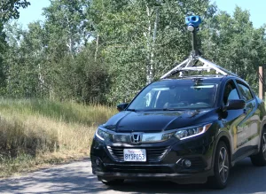
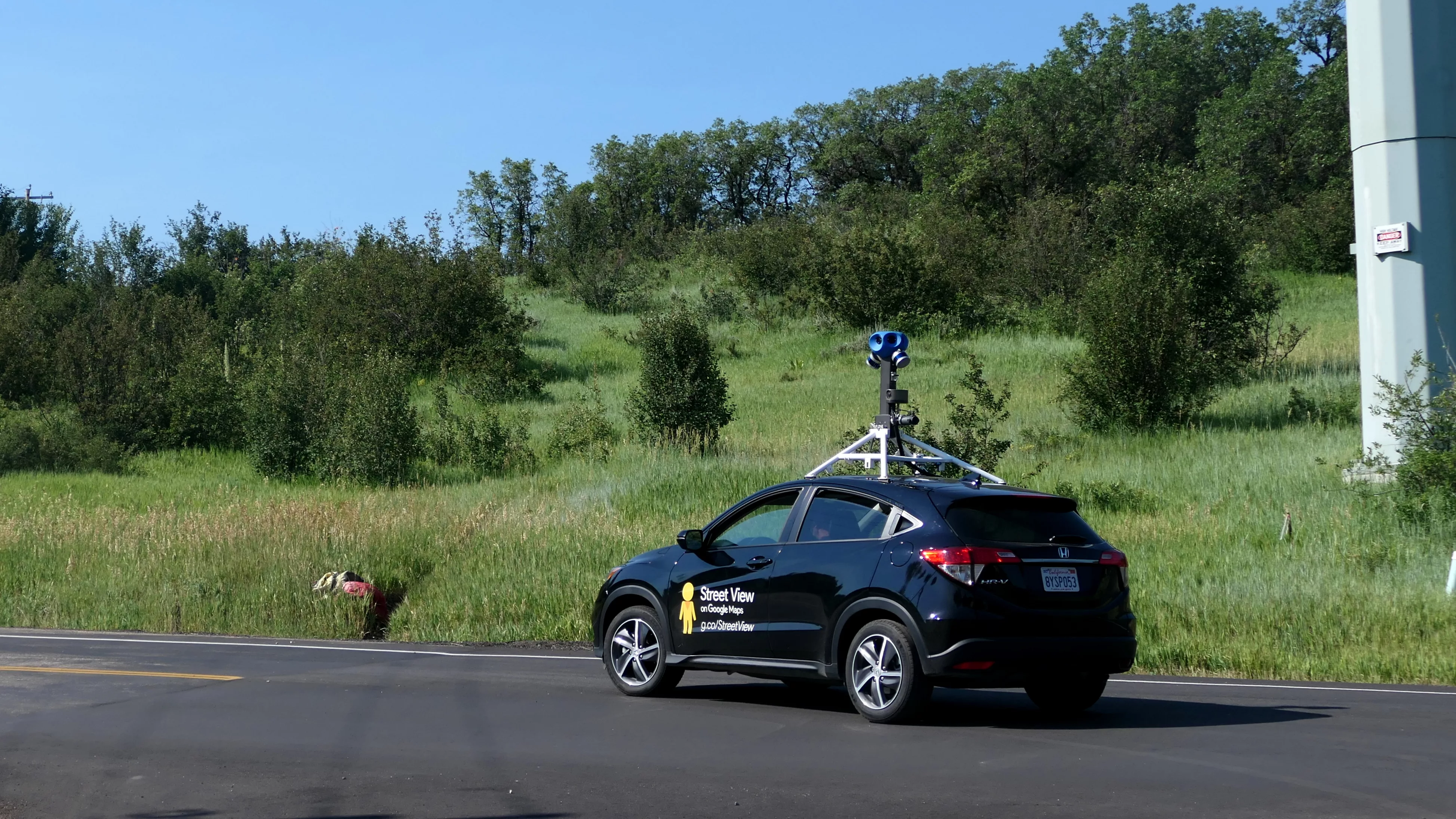
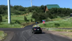
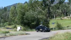
The Google Street View car has been in Northwest Colorado, spotted zipping along streets in Steamboat Springs today. These are shots of the Google-owned mapping vehicle in the Fish Creek Falls Road area this morning.
Google has a website that says, “Discover when, where, and how we collect 360 imagery.”
It says that faces and license plates are automatically blurred if caught on “Street View.”
There is also a place where you can see when the Street View car will be in your neighborhood but not only is Steamboat Springs not on there, but the entire state of Colorado isn’t even listed. But the car was definitely spotted and will probably be seen all over Steamboat streets today.
Here’s more from Google on the “Street View car.” The website says, “Equipped with a camera system on the roof, the Street View car is our most used equipment for collecting imagery and has helped us capture more than 10 million miles around the world, including a horse eating a banana.”
To use Street View, go to Google Earth. Find your house or street. On the bottom right side of the page is a little figure called, “Pegman.” Click on Pegman and that would give you the street view. Not all Steamboat side streets have this, but now maybe they will.